Bill and Juanita, owners of Allenspark Lodge B&B, are living their dream...

running a successful business and riding as often as possible.


Showing posts with label flood. Show all posts

Friday, February 28, 2014

And the Cleanup Continues ...

The area has worked particularly hard to get things back to normal as much as possible since the flood.  It's hard to believe that it has been six months now - and yet to realize all that has been accomplished in those six months!

This week when Bill and I did our town trip for chores and groceries, we chose to come home a different route.  Heading out of Loveland up I-34 I spotted many new signs for the businesses in Estes Park.  This is one from a business that works closely with the Livery across the street from us; taking fishing/pack trips to our mountain lakes on horseback.


Then we headed up the Big Thompson canyon itself, amazed at the cleanup that has taken place.

A little town, Glen Haven, that sits just a few miles north of Estes Park on a little winding road, was nearly wiped out.  One of our sons and his family had done a lot of volunteer work there in the weeks after the flood and we had heard - and seen many of their pictures - of just how hard they had been hit.  Many of our guests had come that way this fall and we were hearing amazing stories of the road work and cleanup that has been done; although not completed by a long way.  We had avoided that trip, not wanting to see all the damage, but decided we needed to get caught up with that area.
We saw 'new fields' (didn't use to be there before) that had been scraped clean of debris.

Piles of reclaimed asphalt ready to be used for the new roadbed, or as fill dirt.

Crossed over a temporary bridge; no, the road did not use to go here.

....and got to see some places that have not been scraped clean yet.  This is just a small idea of what these mountain strong people have been dealing with, in-between bouts of snowy weather.  That's the river on the other side of the fence, that still needs to be dredged before spring runoffs come.  It's important!  Areas above this are currently sitting at 180+ percent of normal snowpack.  We love the snow but it does seem to come at times when the area is already stressed.  We feel for all of you in the north and upper midwest that keep getting hit with storms this year.

What a beautiful view to come over the top of Devil's Gulch road and catch this view of Long's Peak (center rt.) and Meeker Peak (center left) just before spotting Estes Park at their base.

After passing through Estes and heading south on SH 7, we came to St. Catherine's Chapel at Camp St. Malo.
Notice the dark dirt spot just below the trees on the left side of the picture.  Now take a closer look; that depression was the lake that the chapel sat above.
 This is what it looked like a week after the flood.  Pretty amazing!
Somehow, the road crews have taken all the trees and dirt and compacted it into a semblance of a smaller pond.  Last week we saw the mound of trees and dirt they were working on.  Neither of us could believe they created such a serene looking area from the mess they started with.
Everyone has worked super hard to make our area a pleasant place to visit again.  Tell you friends and neighbors to come check us out.  Check out this site:  http://www.supportestespark.com/  It's a great way to help out the area and make it easier to travel in the summer.
Bionic Cowgirl

Wednesday, February 12, 2014

Larger Than a Kayak

Today was our day in town, doing chores, buying groceries, that sort of thing.  Bright and sunny and early we head down Hwy 7 - the St. Vrain Canyon.  Coming around a corner we are surprised to see a huge, yellow 'steam shovel' crawling down the side of the bank into the river!
It then turned on its tracks and started crawling along the river, basically straddling it for the most part; sometimes in the water.  Now pre-flood there would not have been room for something so big, but the river bottom is considerably wider now.  It was just such a strange sight to see.
 
One of the behemoths had a huge jackhammer it was using to break apart the boulder piles; another one had the regular 'steam shovel' arm.

I watched that one take a giant scoop from the river, then turn and dump it on the bank.  Probably a hundred gallons of water poured out - then this huge boulder clunked down.  It would have been fun to just hang out and watch.  It brought back the kid in me!
After finishing our town business, we headed back home, up the same canyon - and passed SIX of these big machines cleaning dead trees and debris from the river bottom, with yet another one on the side of the road, getting refitted for different work.
Look at all those trees and rocks that were clogging the river!
 Thank you to all the 'hard hats', as the locals have nick-named them, for being willing and able to put in all this effort to help with flood control for next spring's runoff; and thank you to FEMA for awarding more money to the state to help with this.

We were also rewarded with some beautiful ice sculptures on the rocky cliffsides along the road.
This is the real beauty of our mountains.  Come up and get unplugged from the real world and let your imagination play, too.
Bionic Cowgirl

Saturday, October 26, 2013

More Gulches ... a.k.a. Trails

I know I've been more than a bit of a blog slug lately, but we have spent many hours scouring our trails, so we have gotten a good deal of riding in.  I'm ashamed to say that although the riding has been wonderful, I still have been too depressed at the condition of our trails to want to write.  Bill and I have always believed we had some of the most beautiful trails in the U.S.  We still do ... but it's going to take some time to get them back in shape for novice riders.

"Compass" manages the Livery across the street and this is a real concern for her business, since probably a good 50% of her riders have never been on a horse before, so you want lots of good, safe trails.  If anyone wants a conditioning challenge for your horse - other than altitude - now is the time to come!!!  See?  It's all about attitude!  We love a challenge - so let's go for an adventure.
Meet Compass and her horse, Eli.  They, plus Beel and Ranger and Jesse and I will be your tour guides today.
Let's be realistic here.  We live in the high country ... and snow has come somewhat early this year.  This is what is left from a snowfall over a week ago, but north slopes sometimes don't get uncovered again until the following Spring.  This just adds to our challenge, so make sure your horse has seen snow before and isn't afraid to step in it.
Compass requested the willow trail today, so we have to head downhill to Rock Creek and the willows.  Meet Ingrid, her dog.  Ingrid will be an important measurement tool later in the ride.
It's a bit of a struggle getting through the willows with all your clothes still in place.  The flood waters seem to have tangled them even more than their norm.  Hope all your horses can be handled with one hand, because you really, really need the other as self-defense!
The shale ledge has gotten a bit narrower!  Thank goodness all these horses are barefoot; it keeps slippage to a minimum.
All I can say is "ummm".  Once there was trail here, so go for it Ranger.  Pick your way through.
This is the agility test - and yes, I let my horse pick and choose her own footing.  Jesse chose to stay on rock and go up-and-over.  Eli  went the lower way and sank ankle deep in silt.  I have a great trust in my steed; she has plowed through some tough stuff for me - and even more on today's trip.  Once we cross over this bit of shale, we will cross a lower spot and then head to the top of the cliff.

Ranger and Bill have made it, thanks to some scrambling.  Trail condition?  Gone.  However, the trail down the other side looks totally unaffected.  I'm sure any of you who have helped repair trails after storms have seen these anomalies before.  So we cross Rock Creek, which is swollen considerably more than during any Spring runoff, and try to locate the beaver ponds.
The ponds seem to be gone; all we can see from our vantage point is free running water; lots of it!
On closer inspection, we can see the broken dams; no sign of the beavers.  We hope they survived.
Riding next to the creek, we find GOOD trail, where we would expect it to be washed out.
However, that didn't last long.  We crest the hill and ... what trail?  It is now a deepening gulch, leading to a real wash-out.
The power of water is pretty amazing.  This was once a tiny, tiny stream; barely 18 inches across.  Yes, inches!  Now it is that many feet, plus some.
Bill and Ranger went 4-wheeling down the hillside and discovered ... a kayak/canoe (hard to say which)!
It doesn't took too sea-worthy.  It's kind of jumbled in among all those downed willows.
Nope!  Definitely not usable.  Anyone want a yard decoration?  Getting it out of here could be a chore.
Well, this ended this portion of our journey.  We back-tracked back over the hill, back along Rock Creek, crossed a precarious spot that didn't use to look like this.
There is a way across between those trees; the old trail is beside me, quite deep.  We will have to step down into it and then into a deep spot in the creek to cross.
Once upon a time, there was a small foot bridge for humans to cross on. It is piled up with the willows now.  Hikers, you have to get your feet wet; maybe knees, too, now that this little creek is nearly as big as the St. Vrain River.  After crossing the creek, we turn right and head down the trail to the grotto and waterfall.  Most of this trail is in remarkably good condition and we ooh and aaah over the size and speed of the water we are riding next to.
What's this?  I think we have just found the beavers' new location!  A new home in the making, but we're not sure it's such a good place for a dam.
Very shortly after that, we discover we have gone as far as we can go.  The trail was just none existent from that point on, so no grotto, no waterfall today.  We all commented on how appreciative we were to be on horses that would spin on a foot to get turned around, because there was zero maneuvering space!  Three foot dropoff on our right; rock and bramble on our left.  We considered re-crossing the creek here and working our way along the other side, but decided it could be too dangerous as the rocks are not settled into their new location.  It they shifted under us, we or one of our horses could end up with a broken leg.  That would not be a fun ending on such a beautiful day.  Again, we back-track.
Time to head back uphill, on a different trail.  This doesn't look good, but since we are each mounted on 'mountain goats', we go for it.
Nope.  Time to hill climb; there is no space next to the trail to get through safely.  The bull-dozer I am on takes the lead and heads straight up the hill to our right.  We try to stay within sight of the trail.
We stayed pretty clear of areas like this that had just 'fallen in on itself'.  In some places we had no choice but to navigate close.  Bill and Ranger were small enough to squeeze between the trees; Jesse decided to cross over but the bank fell in on us and we ended up in the bottom of that mess.  True to form, she calmly climbed out the uphill side, but when we got to the top of the hill, Compass pointed out that we had a broken breast collar.  Jesse pops more D-rings with her shoulders.  This time, the D-ring actually pulled through the leather, so I have to figure out how to fix that.  I climbed off and removed it completely, hoping we wouldn't have more need of it on the rest of the ride.  Again, I can't say enough about good, broke trail horses that will let you climb off and on from the 'wrong' side, on a steep slope, and handle all their tack.
Once I get settled in the saddle, we head off another shoot of the trail to the right, and find Ingrid standing next to a portion of that trail, taller than she is.
Compass was trying to convince her to get in the trail to show how deep it was.  Smart dog said, "no".
We topped out and found most of those trails like this; about a six inch stripe down the middle that was anywhere from six inches deep, to 18 inches deep.

The rest of the way, we put the cameras away and concentrated on just enjoying the ride, and the beautiful day.  We had focused enough on destruction and just needed the fresh air.  Compass even had some jumping practice, over a log, that Eli didn't think was high enough to 'jump'.  He kept cantering over it like it didn't exist and we all had a good laugh!  We will find a way to get the trails in good condition next year.  Mother Nature always seems to help heal these things; so be it.  Hope you enjoyed our adventure; come along any time.
Bionic Cowgirl


Monday, October 7, 2013

Scene-It

I have to start off with a very belated "Happy Birthday" to my favorite honey.
Don't even bother to count the candles; he's way over six, and still under 60, it was a surprise cake from his mother-in-law and HAD to have candles to blow out.  I've already caught heck because none of the kids were invited.  It was a busy work night for all of them - so we will do something a little more official later on.  Our four-hour travel times then were making get-togethers more than a little difficult.  And ... more to the point ....

Bill and I spent the last couple of days checking out 'new and improved' travel routes.  One we heard about and tried Sunday, didn't pan out so well, but later we got a call from a neighbor saying she had heard that CO SH 119 was officially opened to the public.  That is one that goes between Nederland and Boulder, down the Boulder Creek Canyon.  Today we went that direction and found it to be a beautiful drive - and it will shorten our drive time "to town" by about half.  We actually made it from the Lodge to the intersection of highways 34 and 287 in Loveland, in one hour and 42 minutes (a one hour drive before flood); a three hour drive post flood, using the Golden/SH 6 route; and a two and half hour drive post flood using the Golden Gate Canyon (SH46) route.  So, each route opening has been an improvement for us!

We took some pictures along the way for your enjoyment - because Colorado is such a contrast of seasons - and the drive might be a little longer, but it couldn't be much prettier!!!
Let's start with a little color on the aspens along the roadway.


I love scenes like this; little farms in the high country to remind us we live away from civilization.  Yes, those white spots under the green trees are snow; remnants of our first October snowfall on the 4th.


A little more of that contrast ... fall leaves with a touch of winter snow ....


and the snows to come.  The Indian Peaks and a glimpse of the kind of pasture land our horses will roam on this winter, still above eight thousand feet.


Another shot of the Indian Peaks ...


More color as we zoomed by ...


This was just a small slide area, not big enough to warrant any road work, but look at that blue sky!


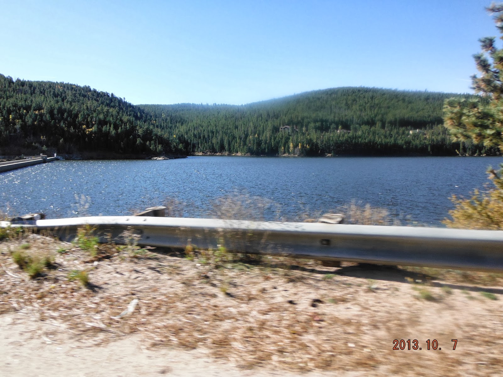
Boulder Creek Reservoir - look at how high the water is on the dam at the left.  I bet there isn't three feet of extra space before the top.


Just one of the repairs on SH 119; the road had been undercut by the water.  Those gray rocks just beyond the barrier are part of all the rip-rap that was hauled in, then the roadway was repaved and the barrier added until they could finish the shoulder - but the road opened one week ahead of schedule.  The crews working up here have been phenomenal.  Thank you CDOT.


As you travel up here between Nederland and Ward, try spotting this entry to an old mine on the side of the road.


Some of our favorite mountains a little closer to home.  We hope you enjoyed the ride as much as we did.
Tomorrow, the horses get the exercise!
Bionic Cowgirl